
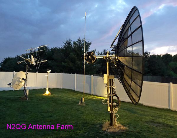
 I am now concentrating the bulk of my ham activities in the microwave region, and have CW EME and amateur DSN as my top projects. My goal was thus to install a relatively large prime-focus dish to be moved by a heavy-duty Az/El rotator.
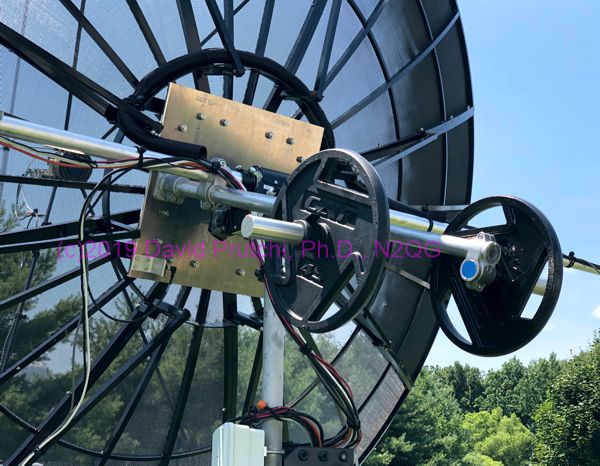
In this whitepaper I describe how I modified a Tek2000.com 12 ft TVRO mesh dish so that it can be moved by a SPID BIG-RAS Az/El rotator.
Location of whitepaper: Tek2000 antenna on AzEl – N2QG
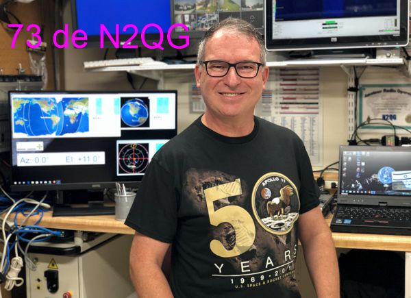 It’s July 20, 2019, and I am invited to a private screening of the CNN Apollo 11 documentary, followed by a party with my fellow nerds, so I don’t really have time today to work the sats. It’s 102ºF outside, so not a good day to tweak the antennas either, but I nevertheless wanted to do something space-related to celebrate the 50th anniversary of the Apollo 11 Moon landing.


 I just posted on