My brother in-law, an Ob/Gyn physician and retired high-ranking Israeli Army officer is also a history scholar. He recently took us offroading in the Gallil to a rather unknown site that he found through his research on the Franco-British Boundary Agreement of 1920. This agreement established the boundary between the Mandate of Palestine attributed to Great Britain, and the Mandate of Syria and the Lebanon, attributed to France.
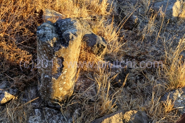
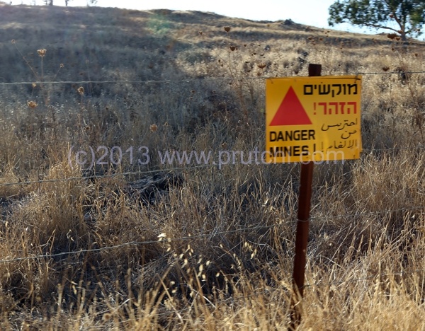
We trekked to what may be the only accessible border demarcation pillar placed under the Franco-British Boundary Agreement of 1920. In 1922, 38 of these boundary markers were placed along the 49-mile (78 km) boundary. According to Newcombe-Paulet field survey of 1923, 71 boundary pillars were erected on the Syria/Lebanon border with Palestine. Most of these boundary pillars are either inside mine fields or have been removed by looters or people ignorant of their historical significance.
I haven’t been able to find even one picture of such a boundary pillar on the Internet, so my series of shots may be unique… This picture, by the way is of the boundary marker at “Cairn 45”. More pictures are available on my Flickr set.
My brother in-law told me that one of the most difficult parts of his research was to find the original maps of the Newcombe-Paulet survey, and he would like to make them available to other researchers in the field, so here they are in pdf format:


Dear David,
Thank you for making available research into the Franco-British Boundary Agreement of the 1920s. I am currently writing the biography of Colonel Newcombe of the British commission and found your photos extremely interesting. Would it be possible to use one or two in a blog entry, giving due credit of course? You mention your brother-in-law making available the original maps. Are there any others that you intend to post? I would be extremely grateful for any assistance in putting together this interesting story.
Best regards,
Kerry